Free OnlineAI Island Generator
How to Design an Island with AI
Choose the Island View
Shape Coast and Terrain
Add Routes and Story Anchors
Test Readability and Export
One Island, Several Useful Views
Distinct Coastline Silhouettes
Start from a crescent, ring, split caldera, skull-like coast, long volcanic chain, or natural irregular outline so the island remains recognizable even at thumbnail size.
Terrain with Cause and Effect
Connect mountains to rain shadows, rivers to valleys, reefs to lagoons, and harbors to protected bays. Prompting relationships produces a stronger concept than listing landmarks at random.
Maps for Story Planning
Create parchment cartography or clean top-down layouts showing regions, roads, settlements, ruins, and travel barriers. Add final names and precise labels in a layout tool for reliable typography.
Aerial and Isometric Concepts
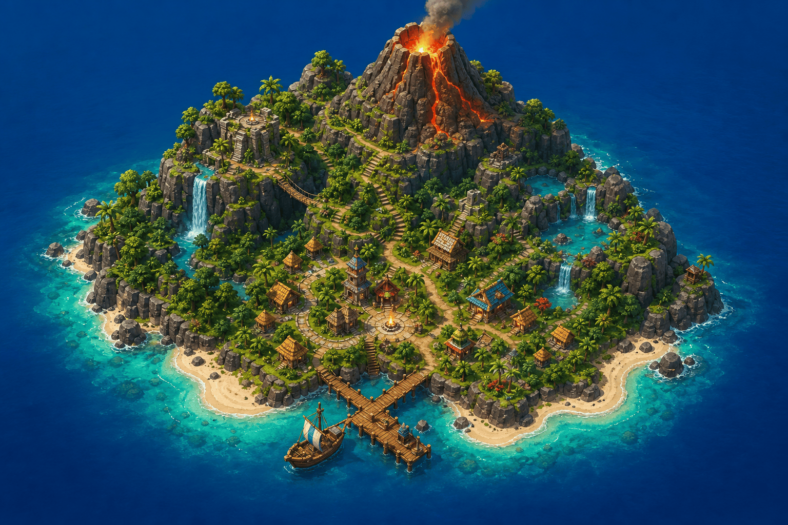
Switch from cartography to oblique aerial realism, stylized 3D dioramas, cozy low-poly game art, or pixel-inspired island concepts while retaining key terrain zones.
Fantasy Beyond Sea Level
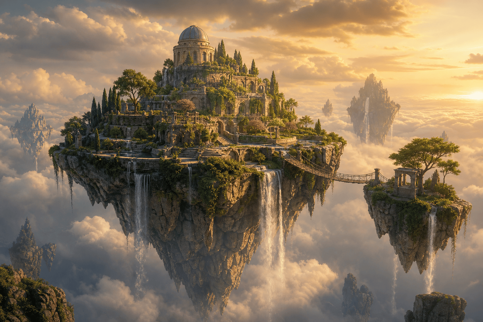
Design floating islands, inverted rock roots, sky waterfalls, rope bridges, storm belts, or impossible biomes when physical realism is not the goal.
Concept Art, Not Playable Terrain
Mew Design exports generated PNG or JPG images after free trial credits. It does not output heightmaps, GIS data, editable vectors, 3D meshes, collision, pathfinding, or a procedurally playable game level.
How to Write an Island Generator Prompt
- Describe terrain relationships: Say which ridge feeds a river, which bay protects a port, and which pass connects two regions.
- Limit major landmarks: Choose a few story anchors and let paths, distance, or natural barriers define how they relate.
- Separate map from scene: Request cartographic top-down clarity for navigation, or oblique cinematic depth for mood; combining both often weakens each.
- State production limits: Use the image as ideation or presentation art, then rebuild measurements, labels, height, collision, and gameplay logic in dedicated tools.
Island Prompts for Maps, Games, and Fantasy Realms
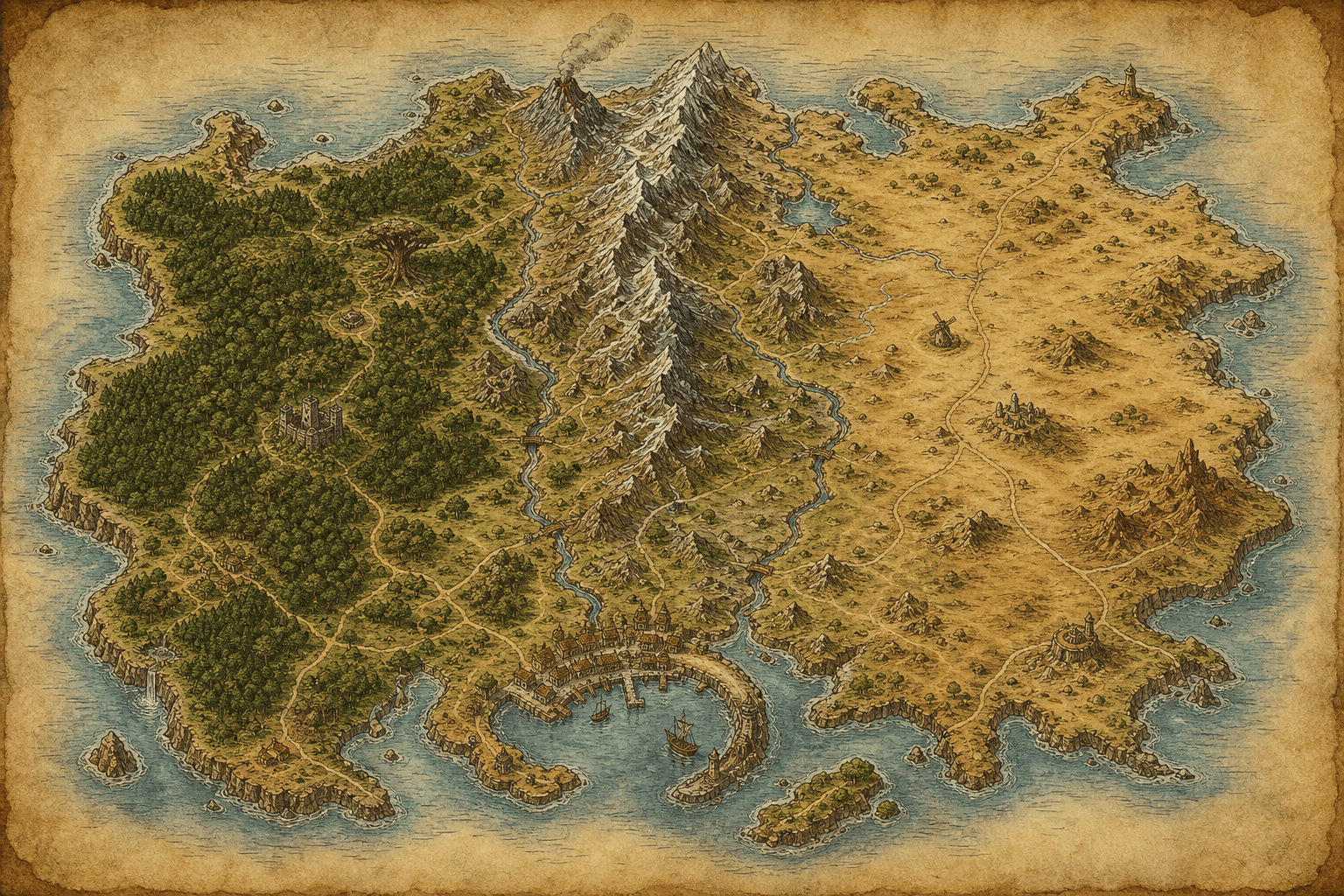
Parchment map: irregular fantasy island, central north-south mountains, western forest, eastern dry plain, three rivers to the coast, sheltered southern harbor, sparse roads and landmarks, hand-inked cartography, no labels.
Isometric game island: compact volcanic diorama, beach ring, jungle terraces, village plaza, dock, looping paths and waterfalls, bright stylized 3D art, readable zones, clean ocean background, no UI.
Floating observatory: inverted rocky island above clouds, terraced gardens, domed observatory, waterfalls dissolving into mist and rope bridge to a satellite isle, golden fantasy concept art.
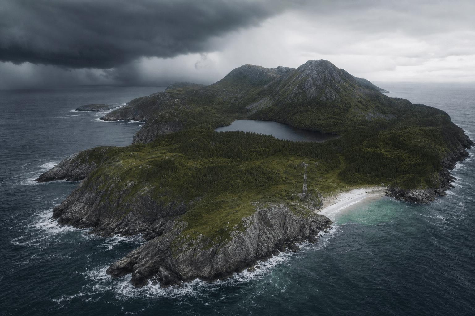
Survival island: windswept cold island in a gray sea, steep cliffs, dark pines, freshwater lake, narrow sheltered beach and abandoned radio tower, approaching storm, realistic aerial photography.
Pirate caldera: ring-shaped island enclosing a hidden lagoon, one narrow sea cave entrance, jungle cliffs, ruined fort, wrecks and a small smugglers’ dock, dramatic illustrated adventure map, no labels.
Cozy archipelago: five small islands linked by ferries, fishing village, lighthouse, mushroom grove, orchard and hot spring, warm watercolor story-map style with generous ocean space.