Free OnlineAI City Map Generator
How to Create a City Map with AI
Set the Map's Purpose and View
Place Terrain, Districts, and Anchors
Generate a Readable Map Draft
Refine Navigation and Style
What Makes Mew Design a Go-To AI City Map Generator?
Map the City from a Written Setting
Describe what the city does, where it sits, and how people move through it. Mew Design converts those relationships into an overhead visual instead of a generic skyline.
Give Each District a Clear Identity
Separate docks, markets, civic centers, residential quarters, temples, campuses, industry, parks, or faction zones through shape, texture, color, and landmarks.
Use Terrain to Explain the Street Pattern
Rivers, cliffs, coastlines, walls, rail lines, and gates can shape bridges, roads, growth, defense, and neighborhood boundaries so the map feels intentional.
Match the Map to the Project
Create parchment fantasy cartography, clean modern guide graphics, hand-painted game maps, monochrome atlas plates, or luminous sci-fi schematics.
Keep Continuity from a Rough Sketch
Upload an existing city sketch or regional map and state which shoreline, road spine, wall, or landmark locations must remain recognizable.
Edit One Map Decision Through Chat
Ask Chat Edit to add a bridge, shift a district, emphasize a quest route, remove visual clutter, or reserve space for a legend without rebuilding the entire prompt.
How to Prompt an AI City Map Generator Effectively
- Choose Scale and View: State citywide or district scale, top-down or isometric view, intended aspect ratio, and where the map will appear.
- Build from Terrain: Place water, elevation, walls, coastline, major roads, rail, bridges, gates, and other elements that organize movement.
- Connect Districts to Functions: Explain why each district is located there and name the routes or boundaries that separate it from others.
- Plan the Information Layer: Request labels, numbered markers, legend space, compass, route colors, or a no-text base map depending on how you will use it.
Customizable AI City Map Prompt Examples
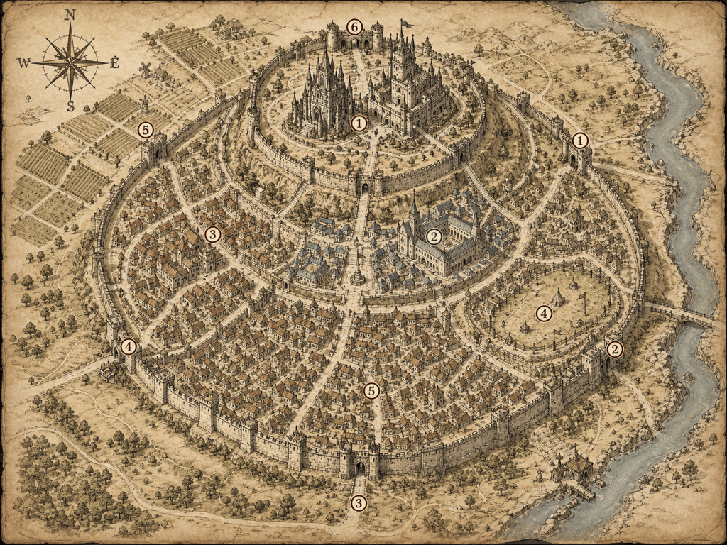
River Capital for an RPG: Draw a top-down parchment map of a walled medieval city where two rivers meet. Include inner citadel, cathedral square, market, university quarter, docks, east and west gates, three bridges, outer farms, and six numbered adventure locations. Dense but readable ink cartography.
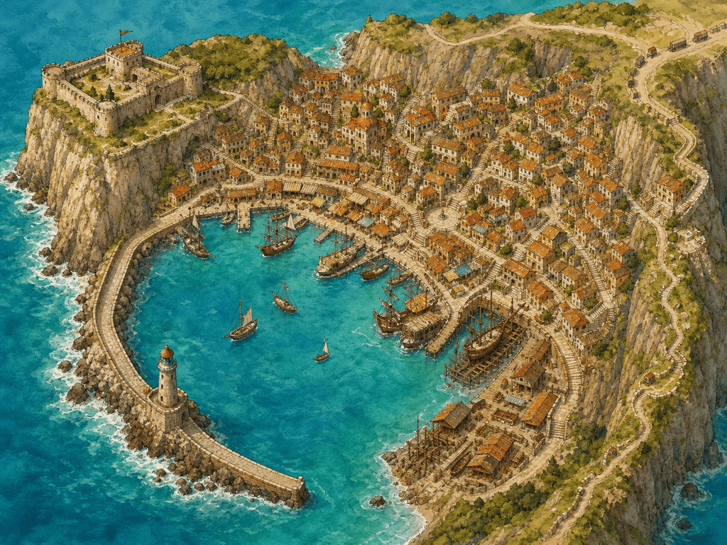
Coastal Trade Port: Create an illustrated map of a crescent-shaped harbor city built between sea cliffs. Show lighthouse, old fort, fish market, shipyards, merchant quarter, hillside homes, cliff stairs, breakwater, caravan road, and a coastal trail. Warm watercolor, no labels, clear landmark silhouettes.
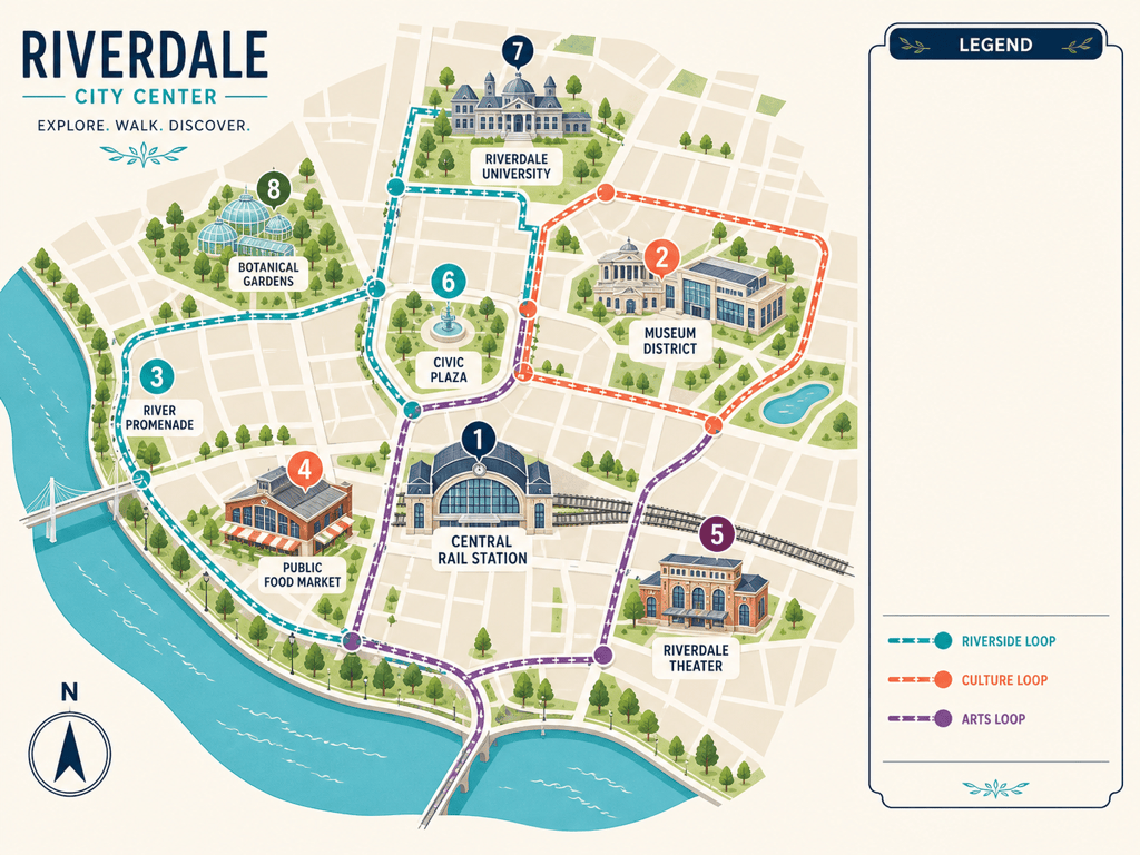
Modern Cultural Guide: Make a clean visitor map for a fictional walkable city center. Highlight central station, museum district, river promenade, food market, theater, university, public gardens, and three color-coded walking loops. Flat vector-like style, simplified streets, numbered markers, room for a legend.
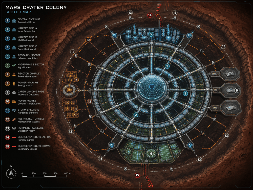
Sci-Fi Colony Map: Generate a top-down schematic of a Mars crater settlement. Include pressurized central hub, habitat rings, research sector, hydroponics, reactor, landing pads, rover routes, dust-storm shelters, and restricted maintenance tunnels. Dark technical map with luminous cyan and amber zones.
Post-Apocalyptic Game Hub: Map a settlement built inside a ruined stadium. Show market concourse, water tanks, clinic, workshops, watchtowers, vehicle gate, rooftop farms, faction zones, sewer entrances, and dangerous collapsed sections. Hand-painted game map with strong navigation landmarks.
Sketch-to-Map Cleanup: Redraw my uploaded city sketch as a polished top-down map. Preserve the coastline, river, ring road, five district boundaries, station, old fort, and three bridges exactly. Simplify minor streets, add subtle terrain texture, and leave clear space for labels I will add later.